
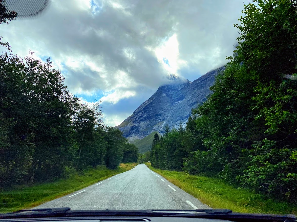
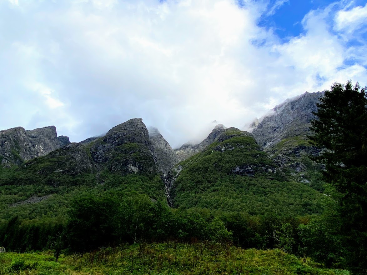
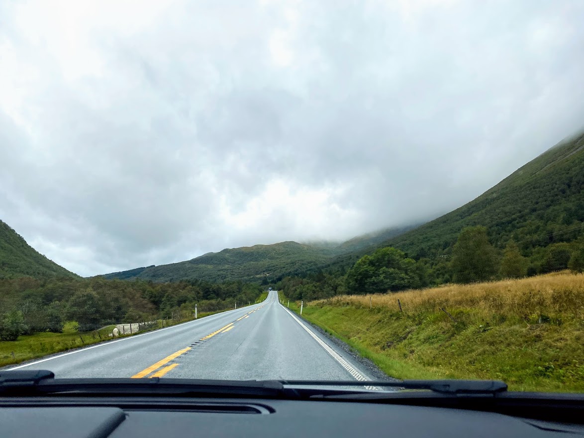
The escapade continues… After admiring the dramatic towering mountains of Romsdalen, I told Carl that we could make a detour and drive by the Trollstigen, a famous zigzag road in Åndalsnes, since it was on the way. He was all game for it, hurrah! I only saw the road on postcards before, so it was a very exciting way to end that day.
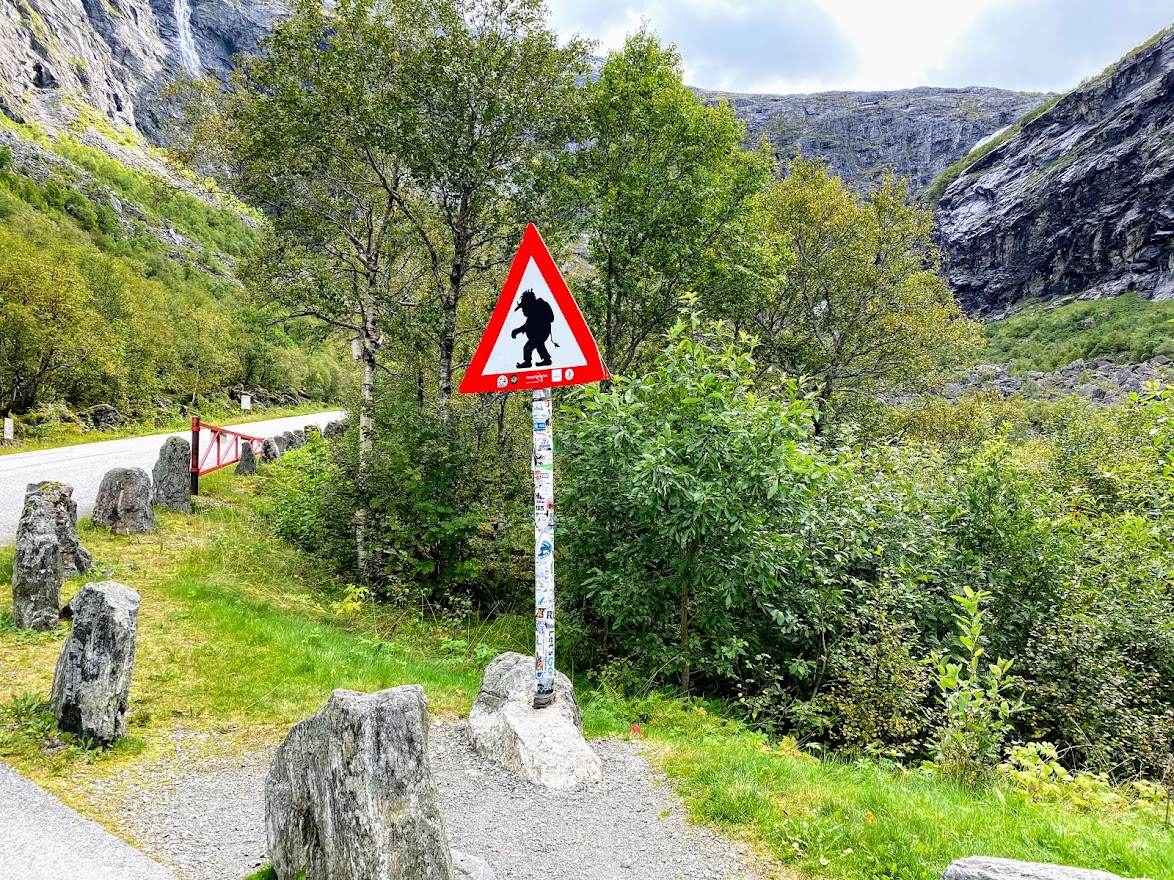
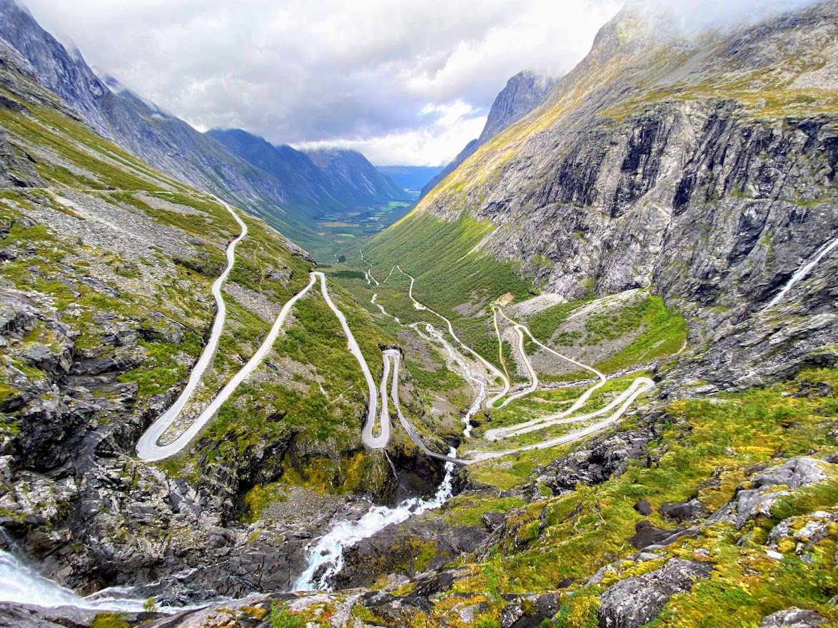
Trollstigen is a serpentine road which is part of the National Scenic Route: Geiranger – Trollstigen, or road 63 (which we would be driving along later on). 🙂 It is one-way, has 11 hairpin bends and a steep incline of 9%, and will take you 858 meters above sea level up on Stigrøre, passing across the Stigfossen waterfall. “Stige” is norwegian for ascending/ladder, by the way, and Trollstigen can translated as “the Troll’s path/trail”, as the word sti means path/trail, or “the Troll’s ladder”.

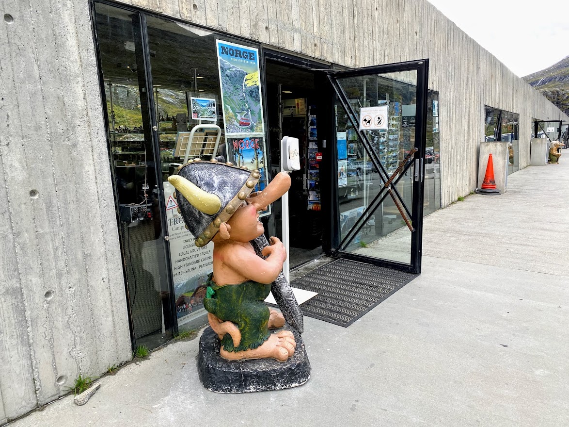
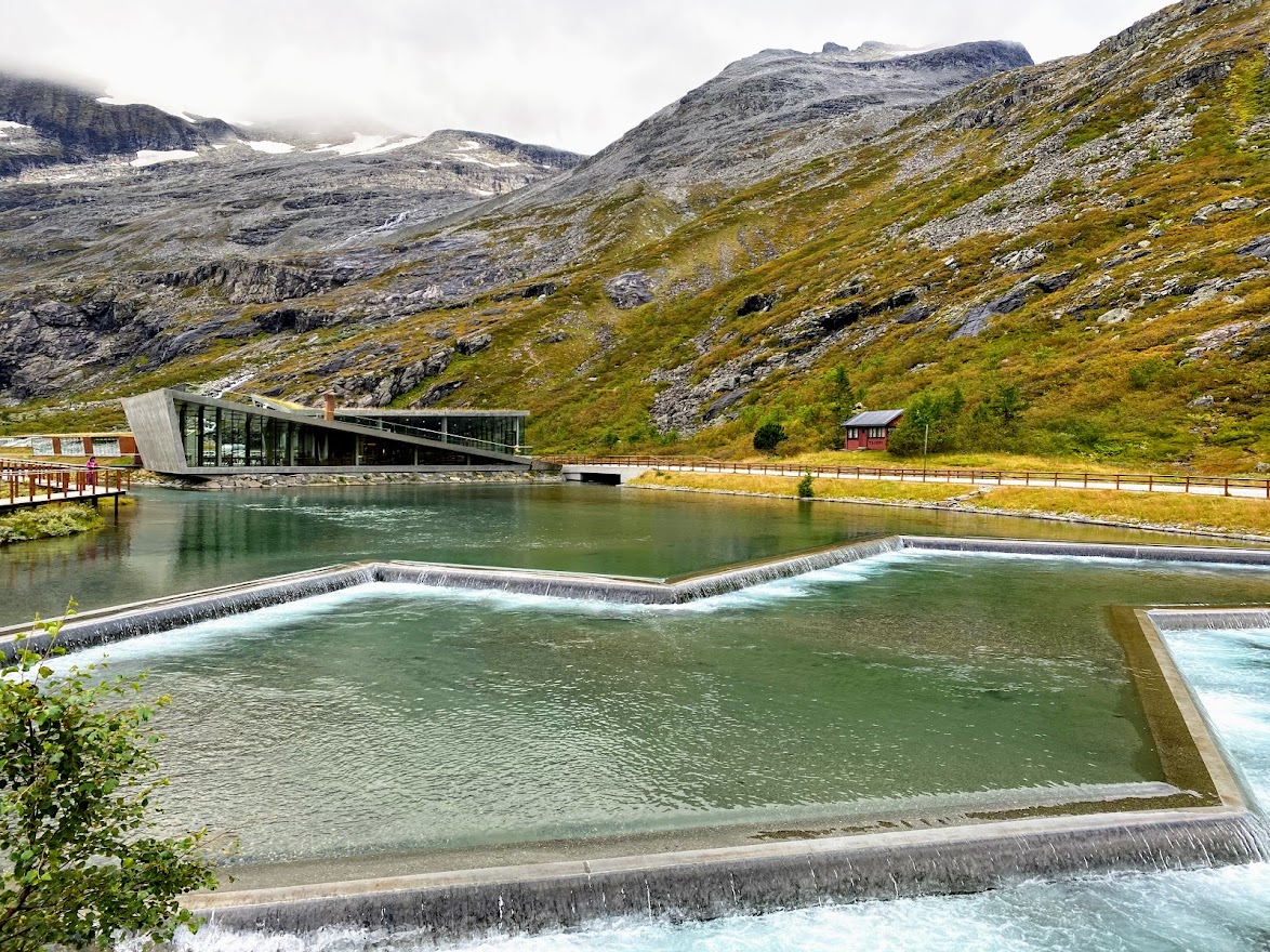
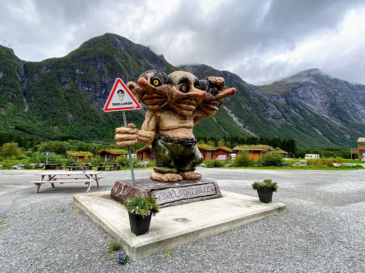
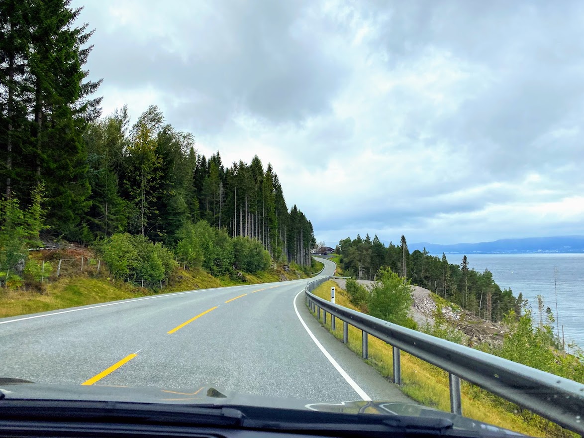
I have posted the route for this roadtrip on entry #5.1. 🙂 I was quite worried that the rain would be pouring and the roads would be wet, making the trip messy. But thankfully, we were blessed with a warm, dry time, although the skies were gray. On the way, we passed by some camping sites, including the Basecamp Trollstigen, with funny Troll statues for photo-ops. 🙂

The Trollstigen was opened in 1936 by His Majesty King Haakon VII. According to VisitNorway, it dates back to 100 years ago. The roads were nicely paved, and there were meeting spaces for giving way to other vehicles. Low gear should be used when driving this dangerous road, which only opens in summer.

On the way to the top, we only had one stop over. It was difficult to miss the waterfall!

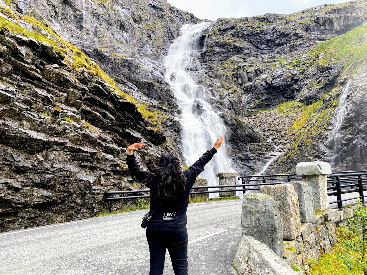
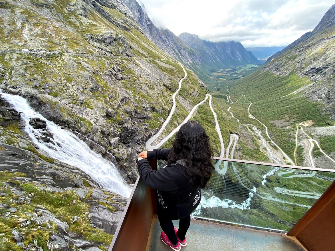
From the stone bridge to the top, it was a thrilling experience! I was impressed by my husband’s maneuvering skills, and of course, I tried to help a bit looking out for cars going the opposite direction. I had goosebumps whenever we turned on a hairpin bend!
On top, there are souvenir shops, a cafe, and other facilities. I made sure to buy a bunch of postcards!
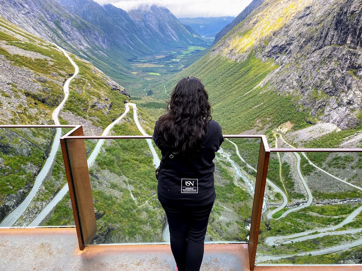
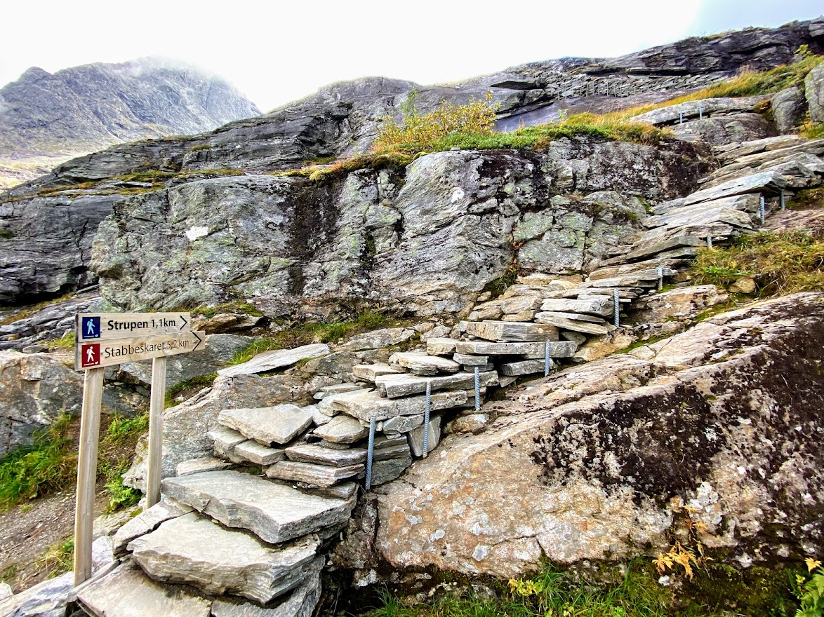
On top, we explored the area a bit. It felt like being on top of the world. 🙂 There’s a viewing deck, and the pathway was amazing. We even saw some people doing prenup photo-ops.

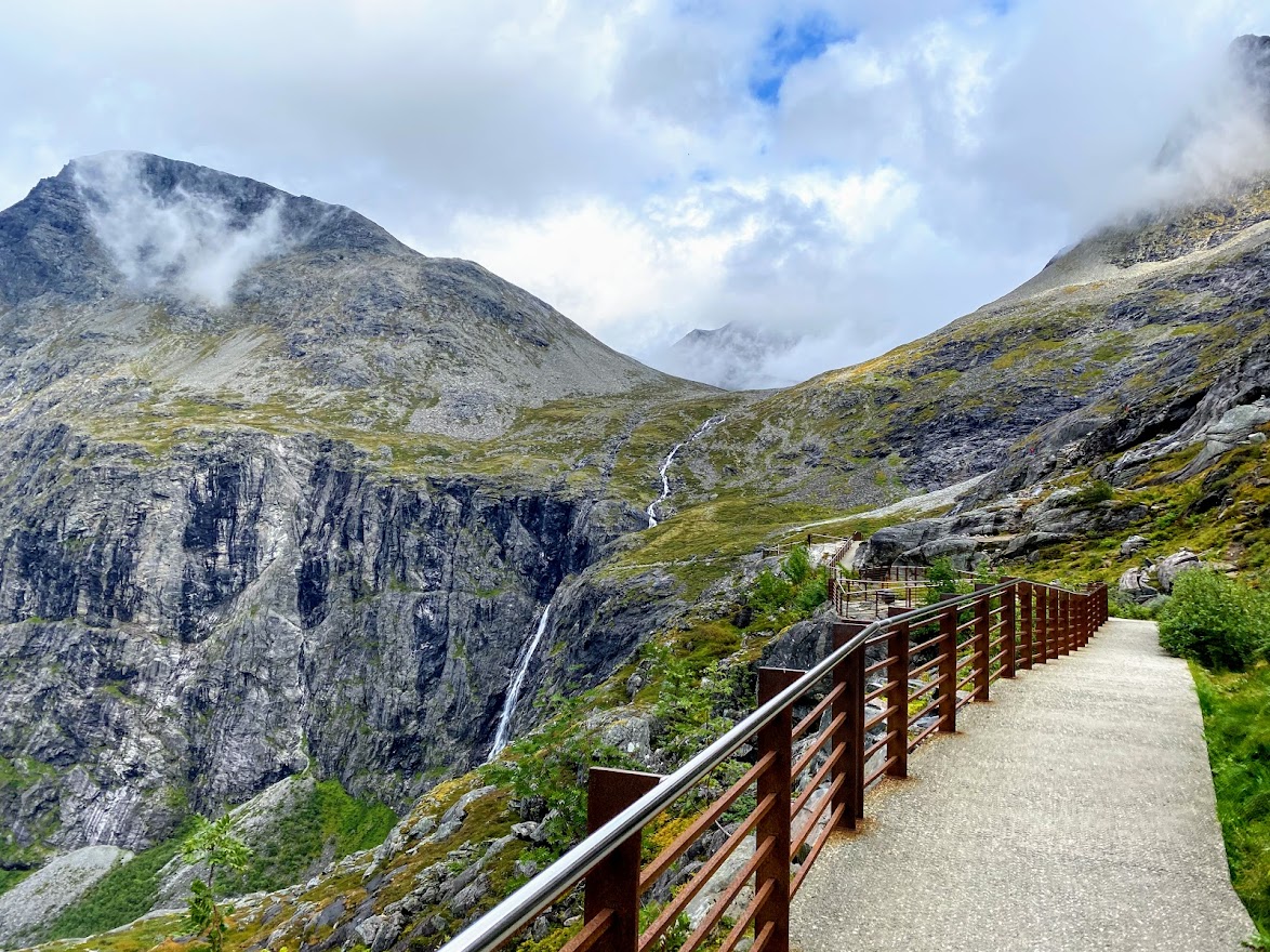
Unfortunately, we didn’t find the geocache there, but it’s fine. Our eyes feasted in the awesome views surrounding the Trollstigen!


So, we spent about 1.5 hour driving from the very foot of the zigzag road, enjoying the views on top, and driving down again. I wouldn’t recommend buying postcards at the Basecamp Trollstigen – 20kr / 10×15 postcard was a bit much. XD
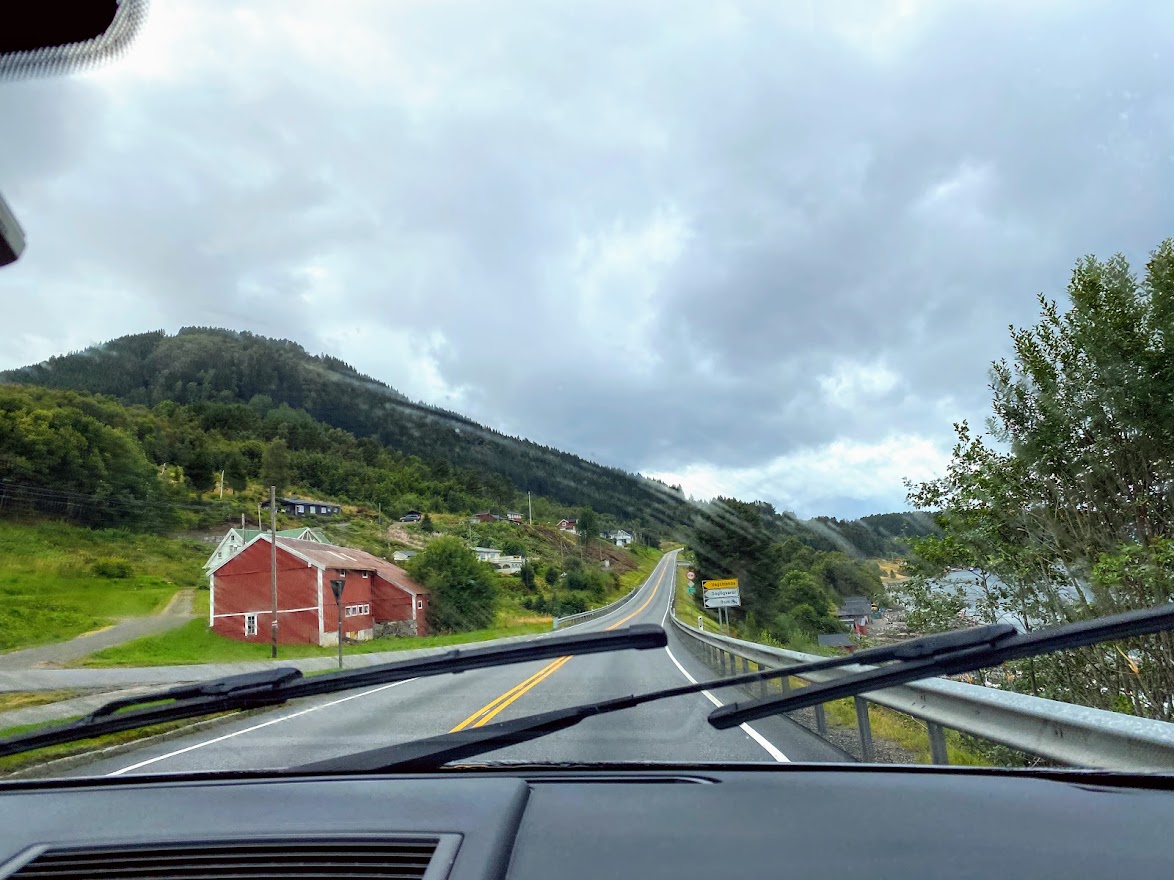
Afterwards, we continued driving to Ålesund, where we planned to stay the night.

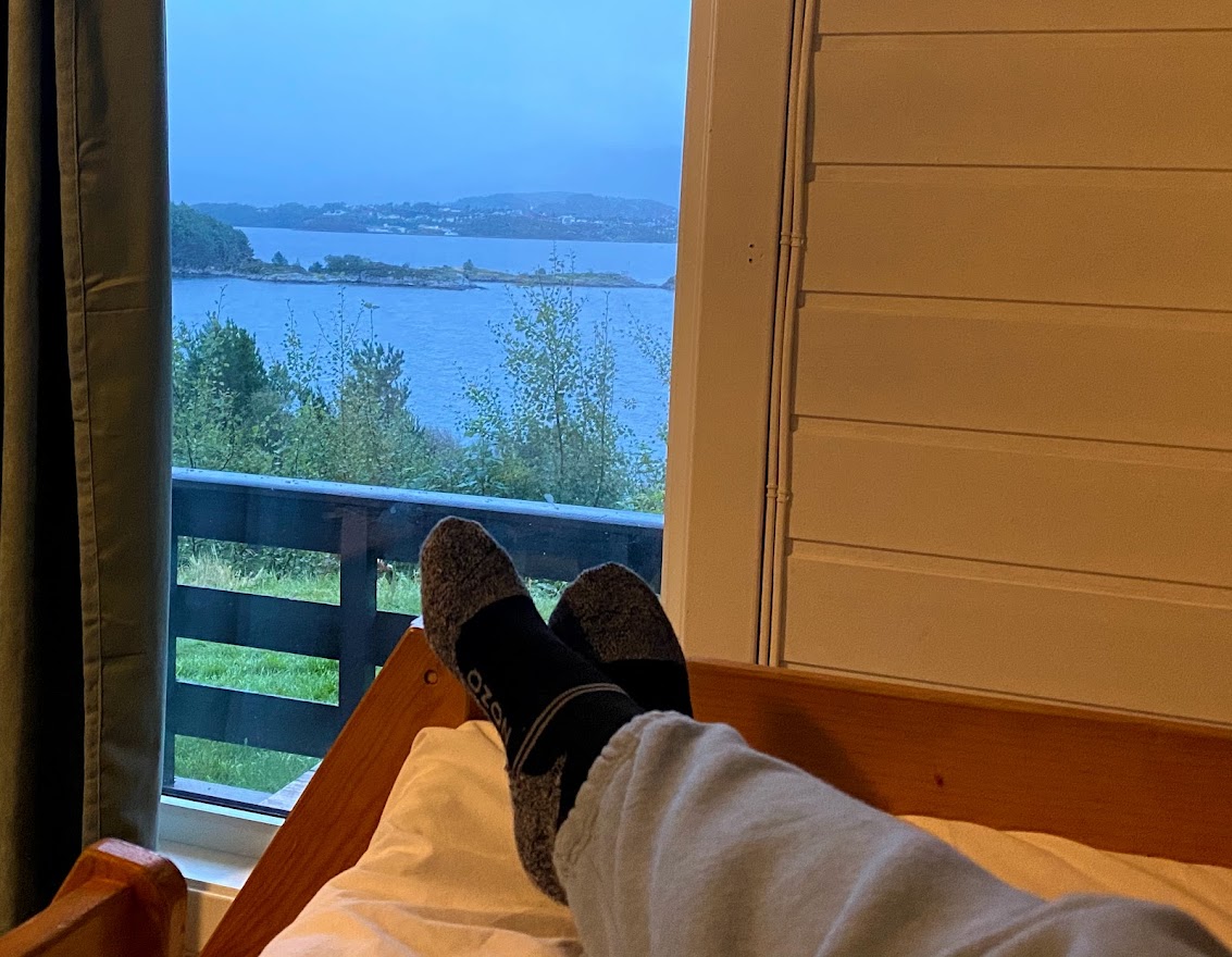
By the time we reached Ålesund at around 18:00, it was already drizzling, so we chose the closest camping site there was. We did buy a new and bigger tent, but that would have to wait because I really wanted to stay somewhere warm and dry. At Volsdalen camping, we had a small cabin with a double deck bed and warm oven.

We were starving by then, and so we took some time to see the city center. It was our first time there, so I was excited. But no thanks to the rainy weather, we had to wait until the day after to see more of Ålesund. For now, a nice dinner @ Tajmahal Tandoori restaurant. The food was delicious; it’s recommended!

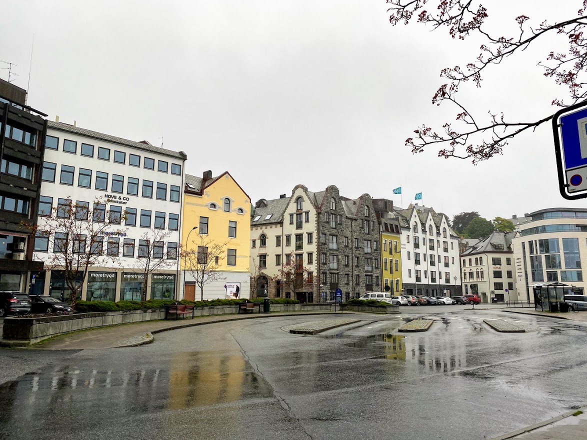

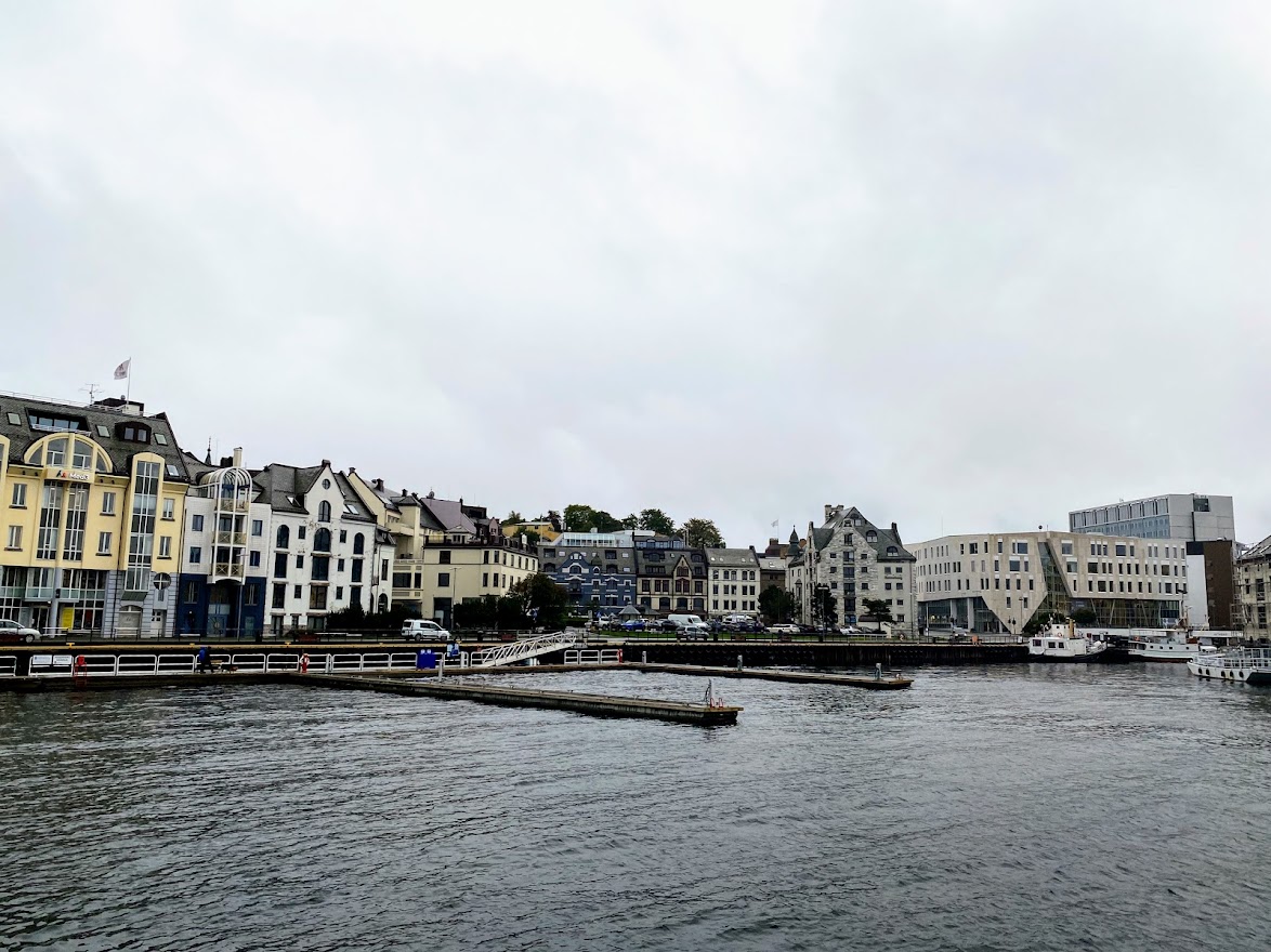

Ålesund seemed like a fancy city, with beautiful buildings, but the rain made us opt to go back to the cabin and call it a day. I was looking very much forward to a dry day after, so we cold see Ålesund better.

This is all for now. More roadtrip goodness in the next entry! #spreadlove
(ALL PHOTOS AND VIDEOS ARE MINE.)

Leave a comment