
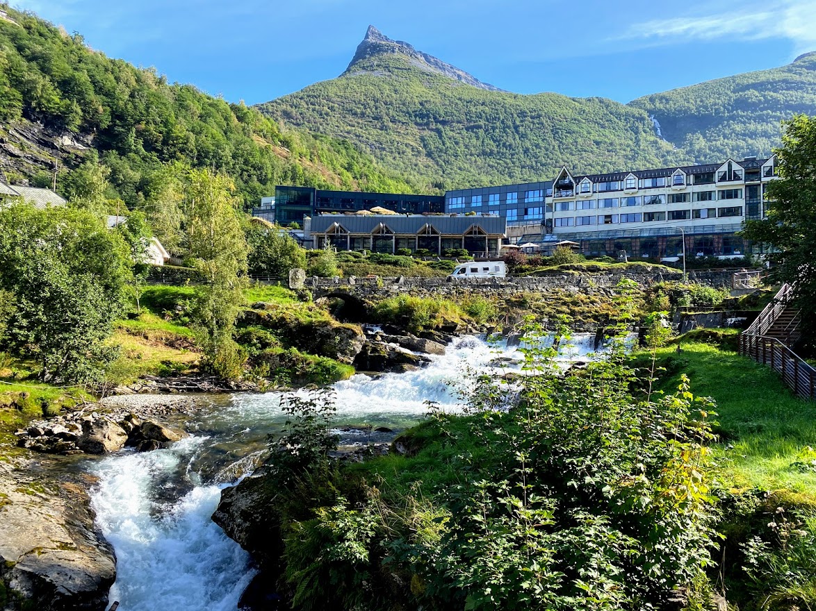
This entry is definitely nature-overload! After the refreshing cruise along the UNESCO World Heritage Site of Geirangerfjord, we drove up to the Norwegian Fjord Center. It is the “visitor and education hub for the West Norwegian Fjords – Geirangerfjord World Heritage Site”. Then, we took the thrilling road up to the Djupvatnet Lake, where the path to Dalsnibba skywalk starts, and on to some eye-candy waterforms (lakes, ponds, waterfalls, rivers). We ended up in the picturesque town of Lom, which is dubbed as “the gateway to the Jotunheimen mountains and national park”. Lom also houses one of the remaining 28 stave churches in Norway.
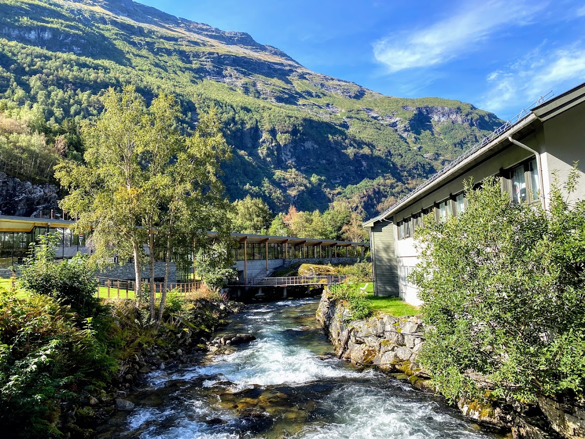
It was almost noontime when we left Geiranger. The Norsk fjordsenter was on the way out, so we took the opportunity to have a look.


The center has exhibitions about how fjords are formed. They also have a cafe, an activity room for kids, and a souvenir shop. I bought some postcards, went outside, and followed the pathway down along the Geiranger river, which flows towards the fjord.

The Fossevandringa walking path was exciting in itself, with some parts composing of stairs and metal walkways to get closer to the fresh running water. It is also located on a higher ground, so you can see the Geiranger town and fjord below. It was amazing. 🙂
When we went up the Dalsnibba Skywalk the day before, I did not want to take the winding, nerve-wracking Road 63 again! But I guess I had no choice because it was the only road out.. Thankfully, my husband had become an experts with the twist and turns, up and down, lowgear and.. high gear? We took a stopover by the 2 square kilometer lake of Djupvatnet at a little more than 1,000 meters above sea level. The norwegian word for deep is “dyp”, so I’m guessing that the lake’s name can be translated to “deep lake”. True enough, it has a max depth of 200 meters or 660 feet!
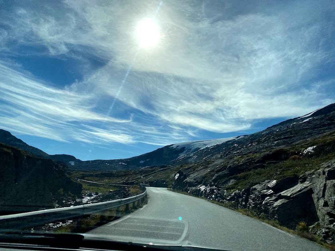

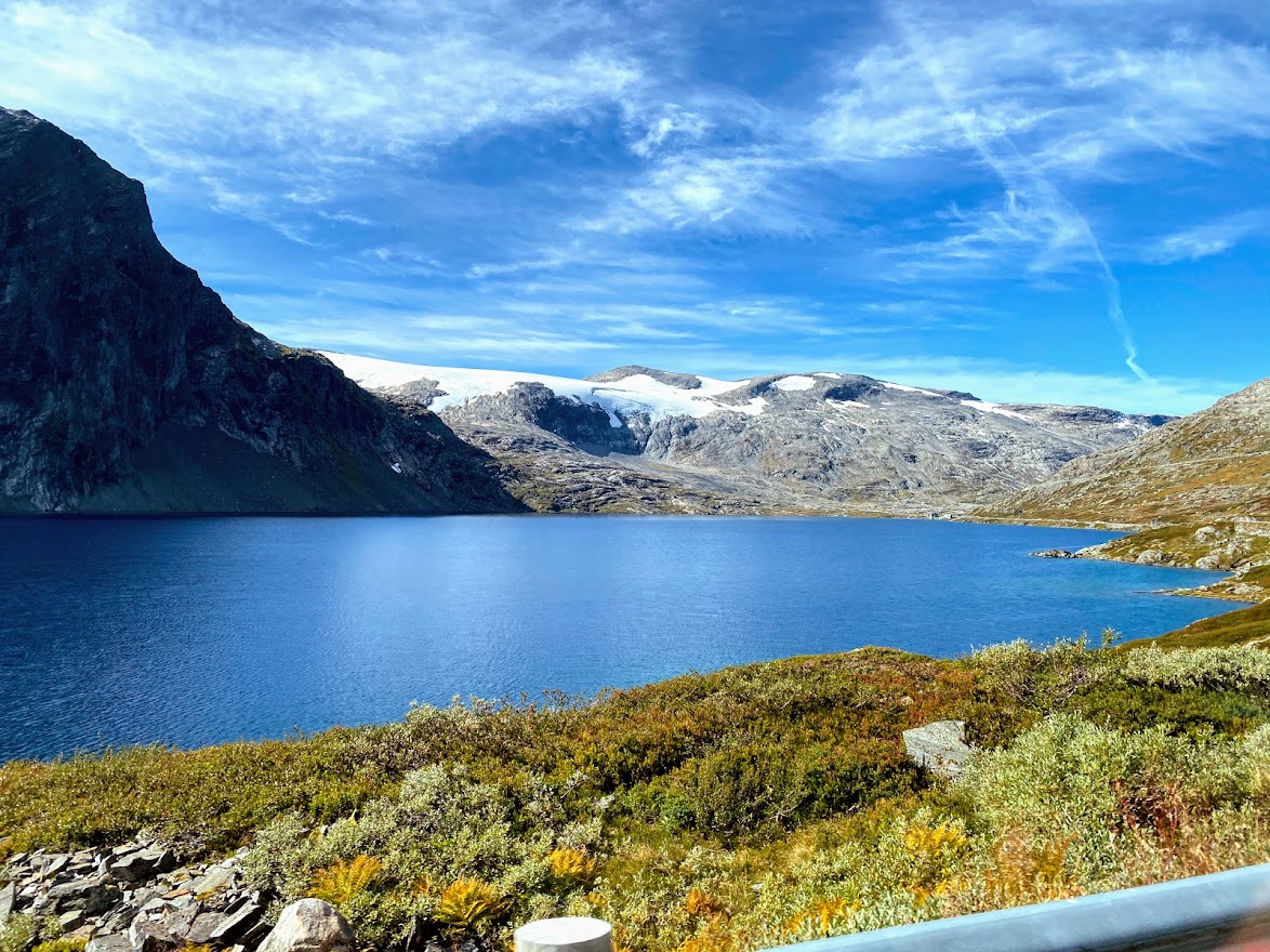
After the Djupvatnet, we passed by other lakes and ponds, like Langvatnet (where we switched from Road 63 to Road 15), Nørdre Lagervatnet, Søndre Lagervatnet and Breiddalsvatnet. The road was winding and it was just the perfect road trip one can take!

Breiddalsvatnet can be translated to “the wide valley’s lake”, so one can imagine how the place looks life IRL. Seriously, that area was a haven for lakes and ponds – I lost count!

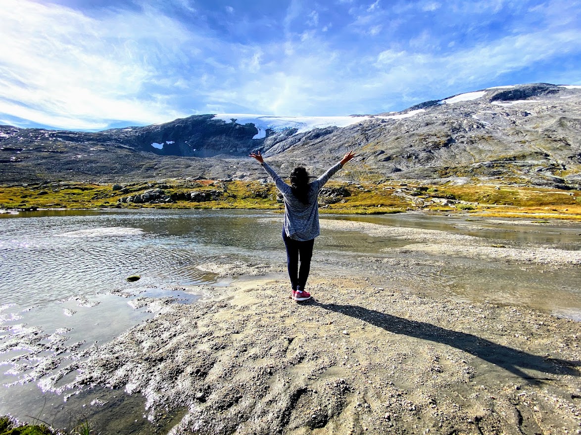
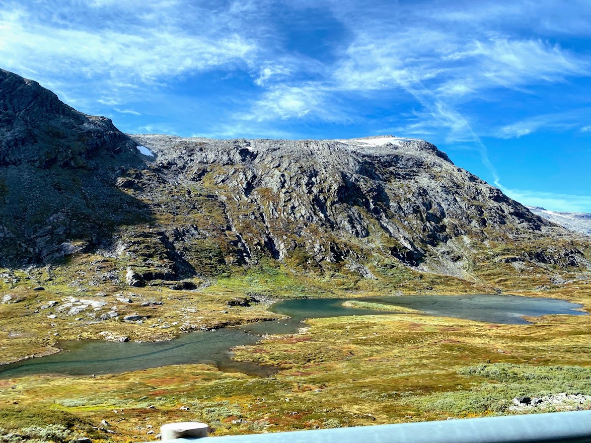
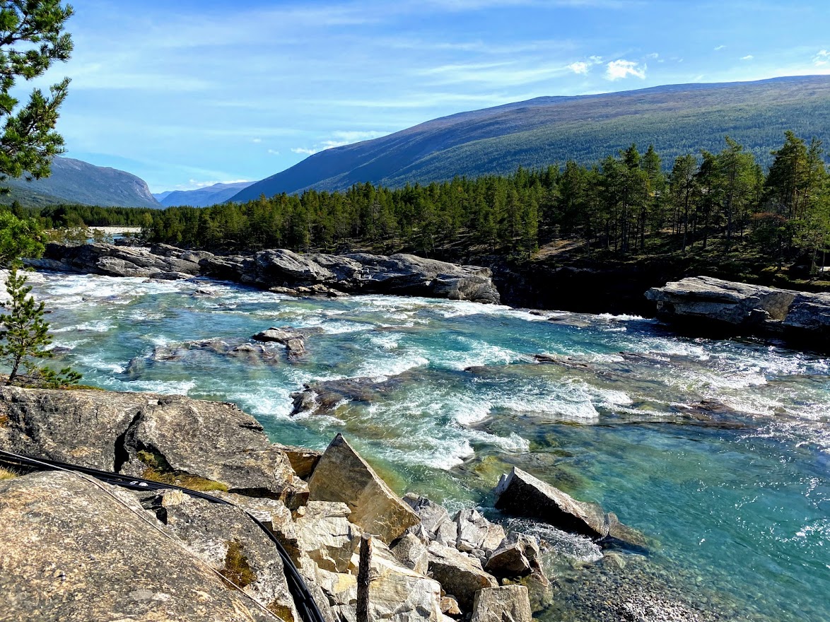
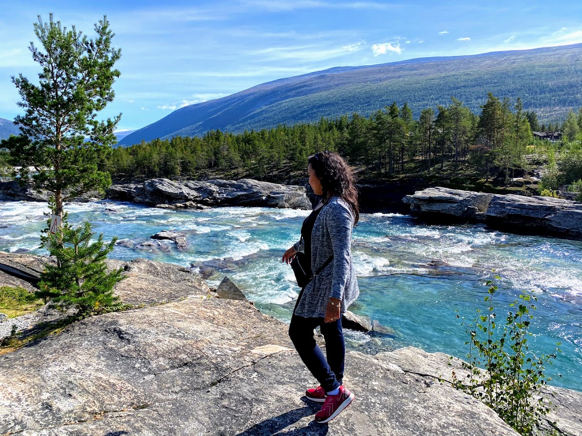
At kl 13:30 pm, it was time again for a longer stopover, get some fresh air and stretch out legs. The Heggjebottvatnet pond was the perfect place – with blue green water and resting chairs to sit on. There’s also the Donføss waterfall and river nearby. We hust had to stop by when we heard the gushing waters. There’s big, beautiful camping place by the water, where I got to buy more postcards. We really liked that spot, and was thinking of camping there next time! Although a beautiful spot like that must be very crowded during high seasons.
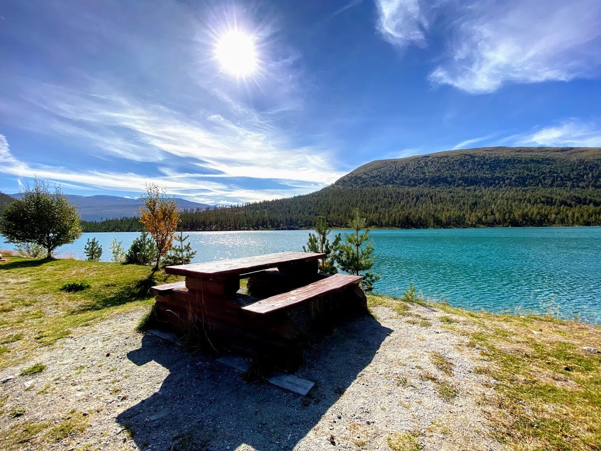

The Heggjebottvatnet is also located in Skjåk, with an elevation of about 600 meters. At Dønfoss, people can go fishing and hiking. It would be a perfect summer holiday if you stay there, I guess.


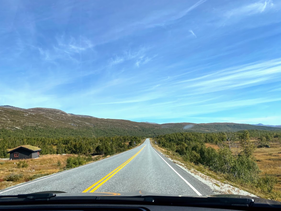
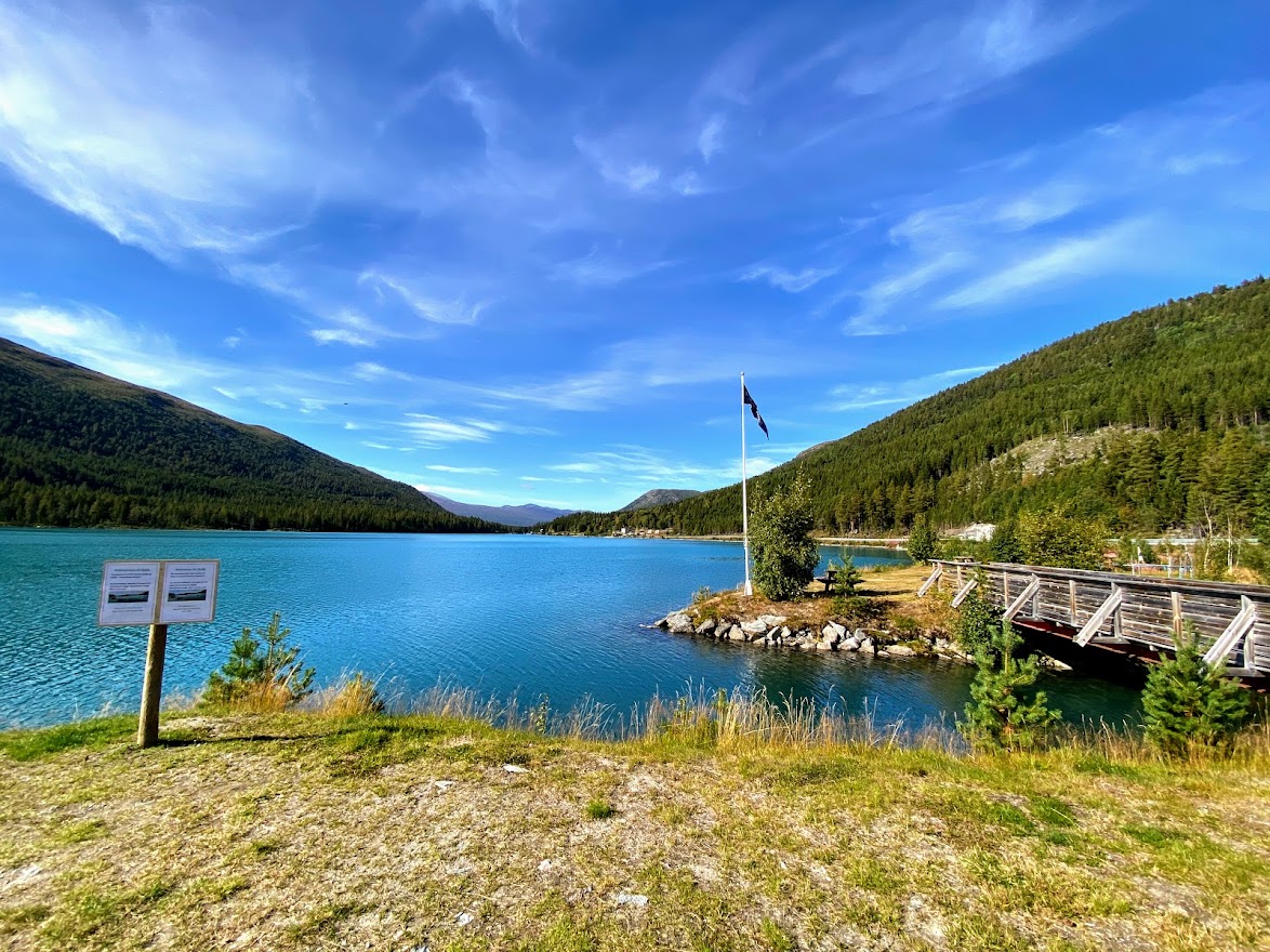
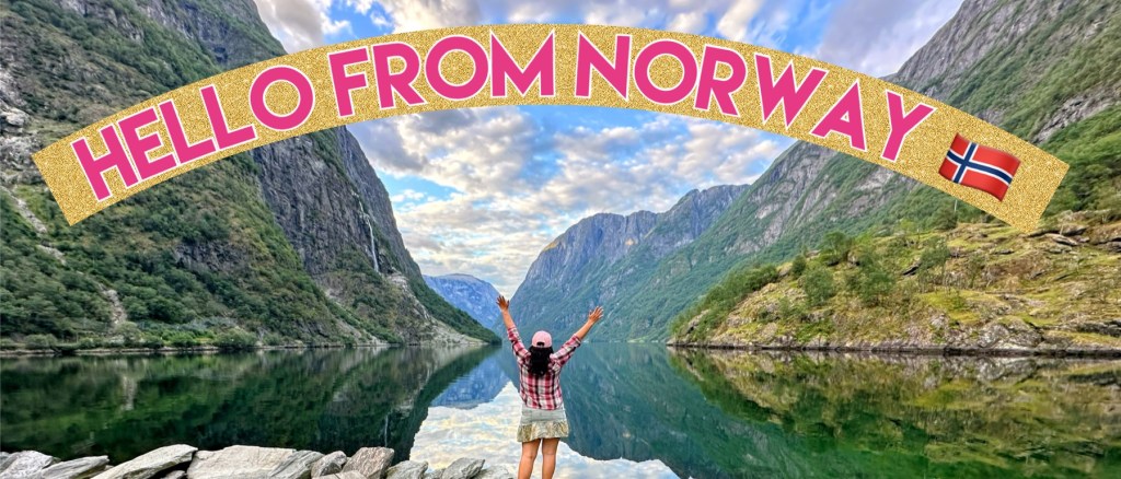
For the next 30 minutes from Dønfoss, we were just driving and admiring the beautiful nature that area had to offer. Then, we arrive in the (omg, I’m running out of admiring adjectives to use). But seriously, Lom is like the perfect rural village, with waterfalls and rivers and mountains surrounding the town center. Then, they have artistic buildings and cottages and houses. Lom is also the starting point to the Scenic Route – Sognefjellet, which we will drive along next. More about that in the next entry. For now, a sneak peek of Lom:

#spreadloveandpositivevibes
ALL PHOTOS AND VIDEOS ON THIS ENTRY ARE MINE.


Leave a comment