
Norway boasts of 18 Scenic Routes or roads that run along or through unique natural landscapes, which also features viewpoints, resting areas, artistic installations and innovative architecture. We roadtripped through one of them earlier: the Geiranger – Trollstigen, and now, we experienced as well the road from Lom to Sognefjord. The winding road is considered a trip on the roof of Norway because of the altitude (from the valley floors to heights of about 1434 meters above sea level). It has a total length of 108 kms, and just like the previously mentioned scenic route, some parts of it, if not all, are closed during the winter season.
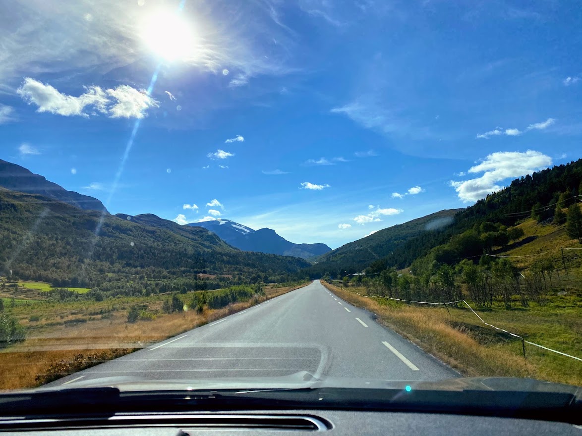
After getting inspired by the picturesque village in Lom and the vintage stave church, we drove on along the Fylkesvei (county road) 55, which parts consisted the scenic route. What I remember are luscious green surroundings and wide mysterious landscapes with rugged mountains, some were snowcapped. It was a beautiful, refreshing feeling – and we stopped over gushing blue green rivers and streams.


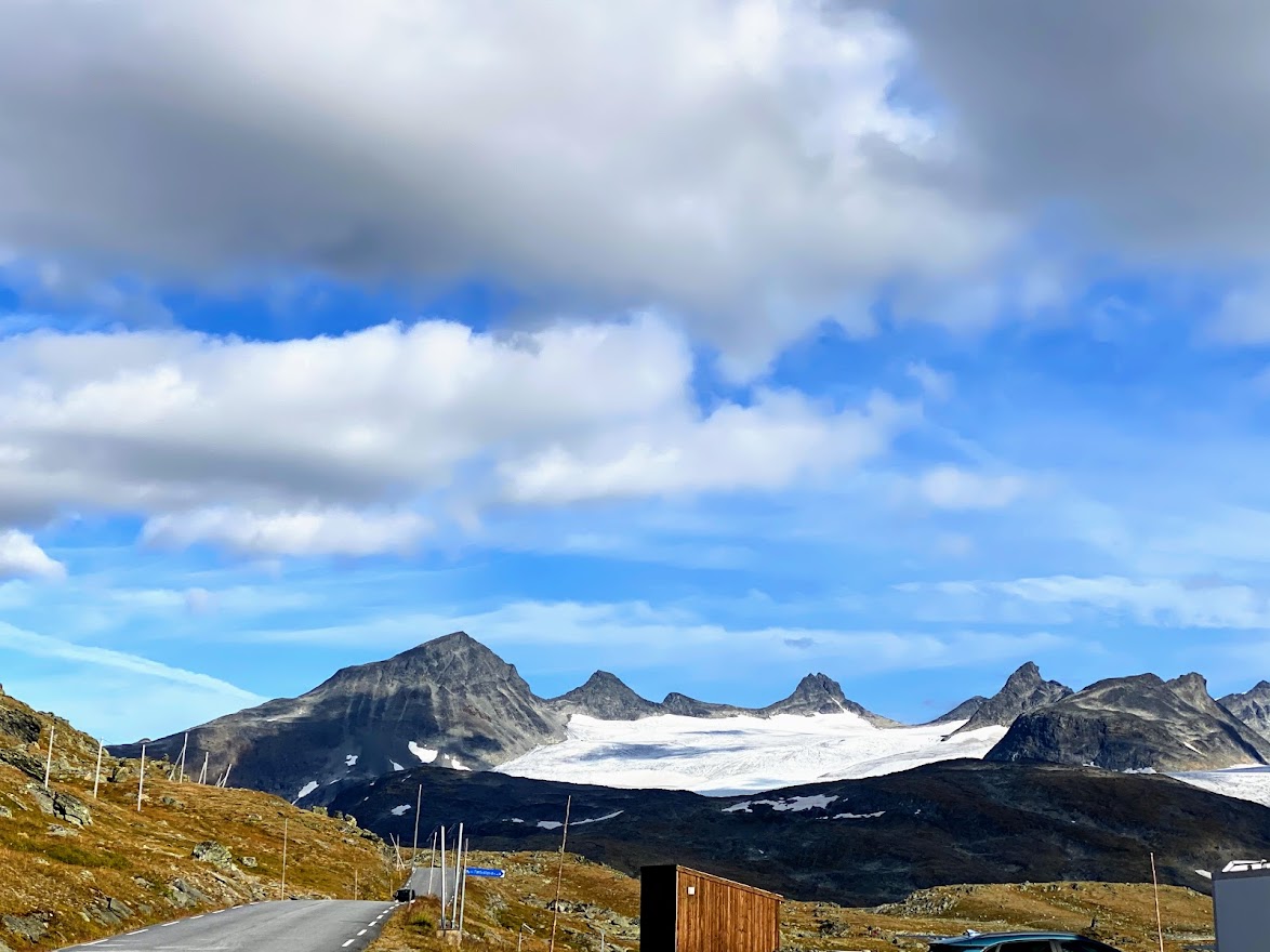
We didn’t know which mountains we were seeing, but they’re part of the Jotunheimen ranges.. or maybe it was Galdhøppigen itself? Really unsure. But we enjoyed getting awed by these mountains.

And a quick detour to the Elveseter Hotell, because we were distracted by the cute buildings a tall monolith. Would be interesting to stay there one day. Anyway, the 34 meter tall monolith, or the Eidsvoll monument, was built by sculptor Wilhelm Rasmussen and depicts Norwegian history, from the time of King Harald Fairhair in 872, to the first national assembly in Eidsvoll in 1814.


The valley of Bøverdal (“dal” is norwegian for valley) was a pleasant sight.


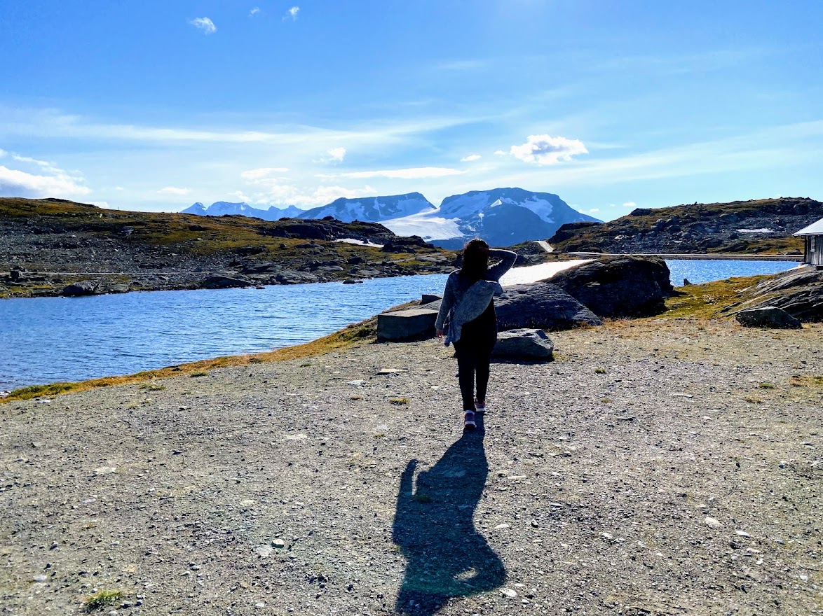
The Vegaskjellet viewing point gives an opportunity to gaze at 2000-meter peaks.


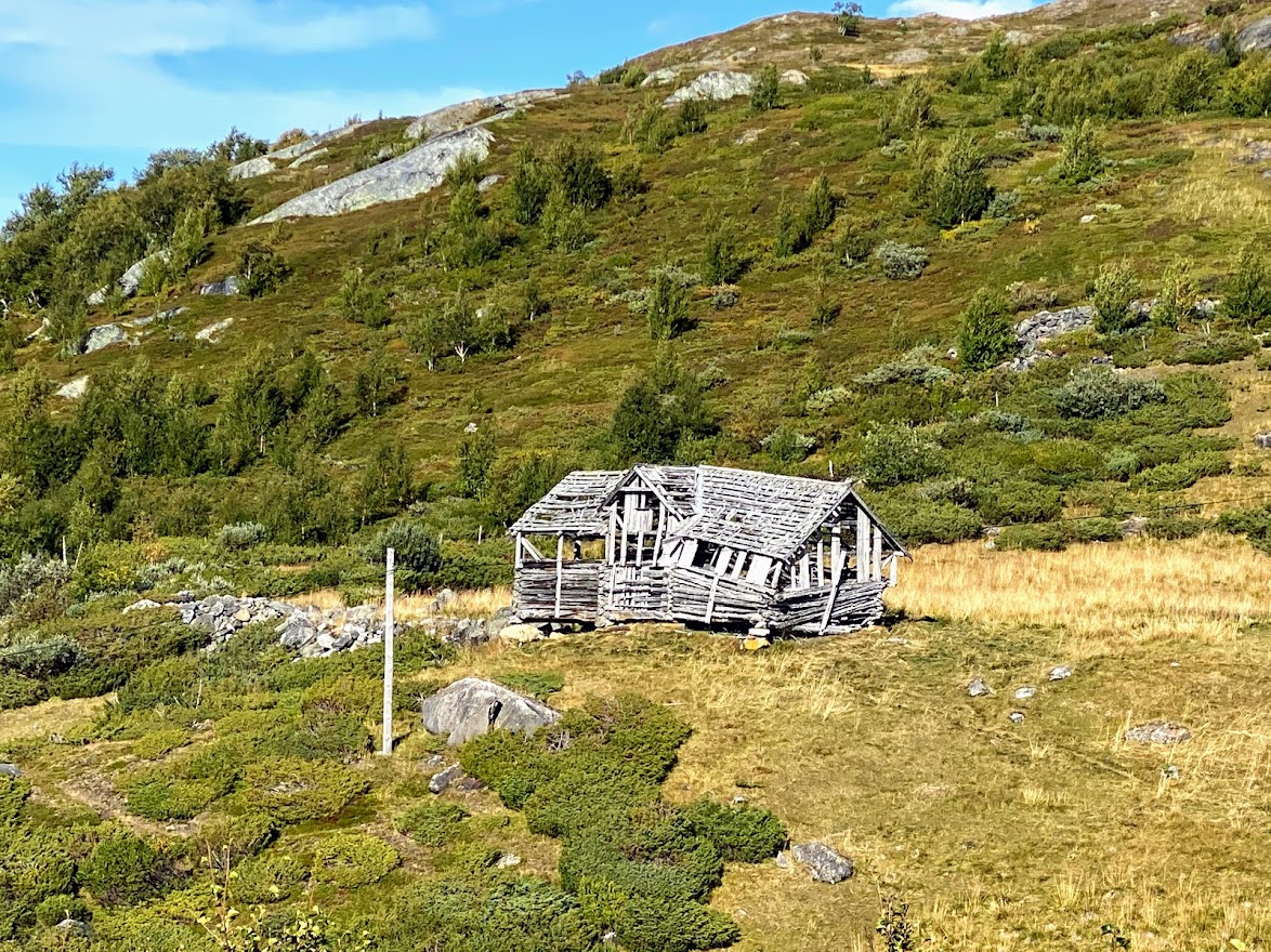
A little before reaching the Jotunheimen fjellstua, we passed by this dilapidated and abandoned building.


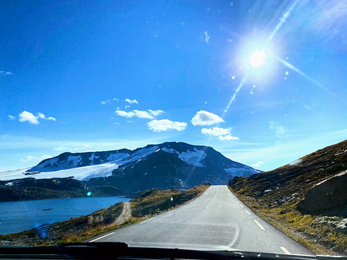
We also stopped by the Sognefjellhytta (cabin), but didn’t find postcards.. .This was the highest part of the road, at 1434 meters above sea level. By the cabin is the Fantesteinsvatnet (lake).


At 17:30, we were starving! Luckily, there was the Turtagrø Hotell, serving some delicious dishes that satisfied us.

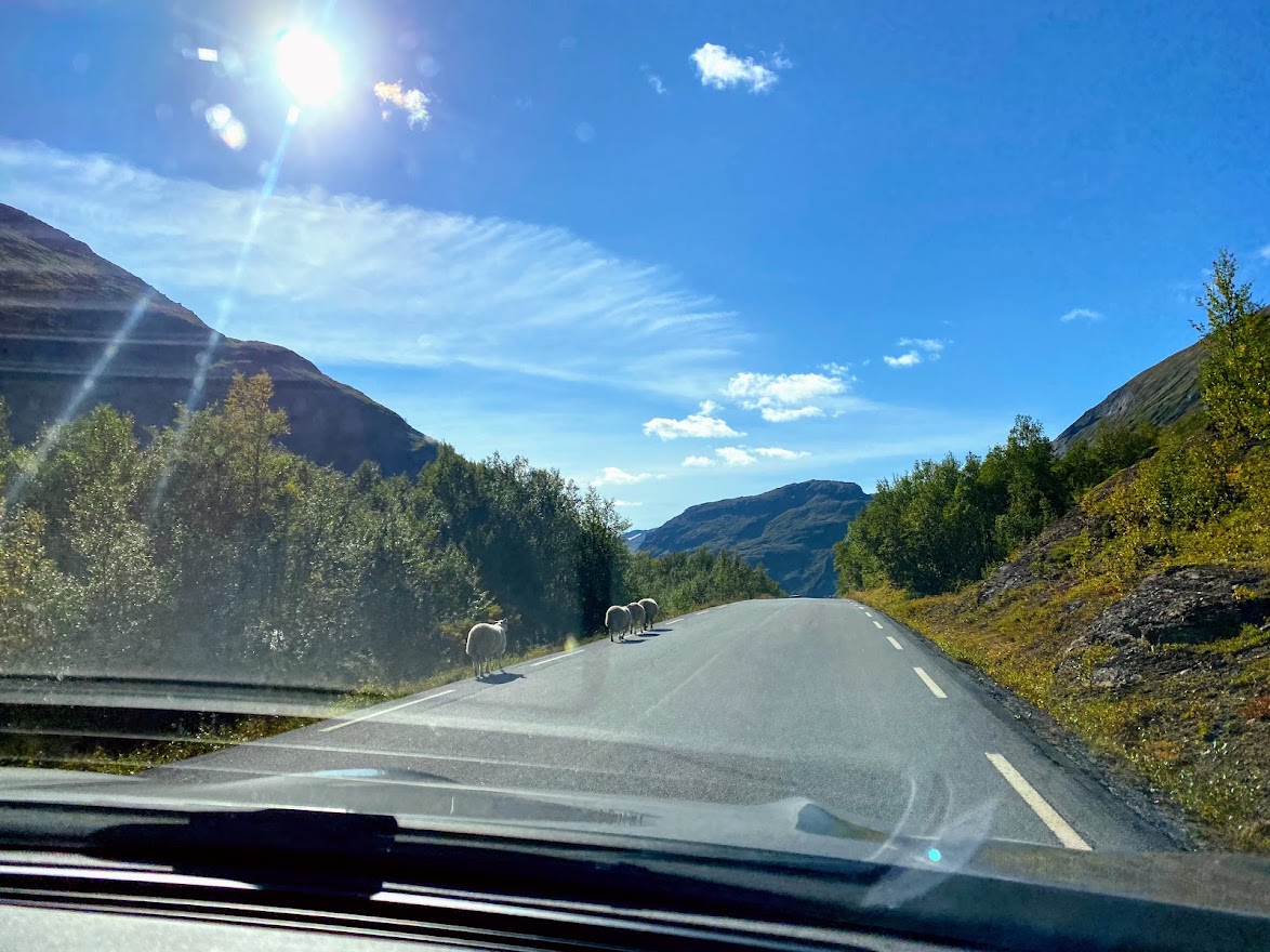
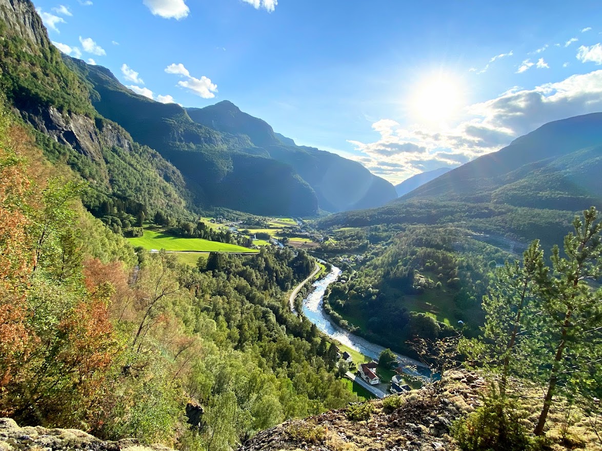
The succeeding parts of the roads were narrow and required good maneuvering skills when meeting large trucks, if I remember correctly. Thankfully, Carl was at ease and was then already very used to driving challenging roads. Then, we reached the beautiful Fortun village in Luster kommune.


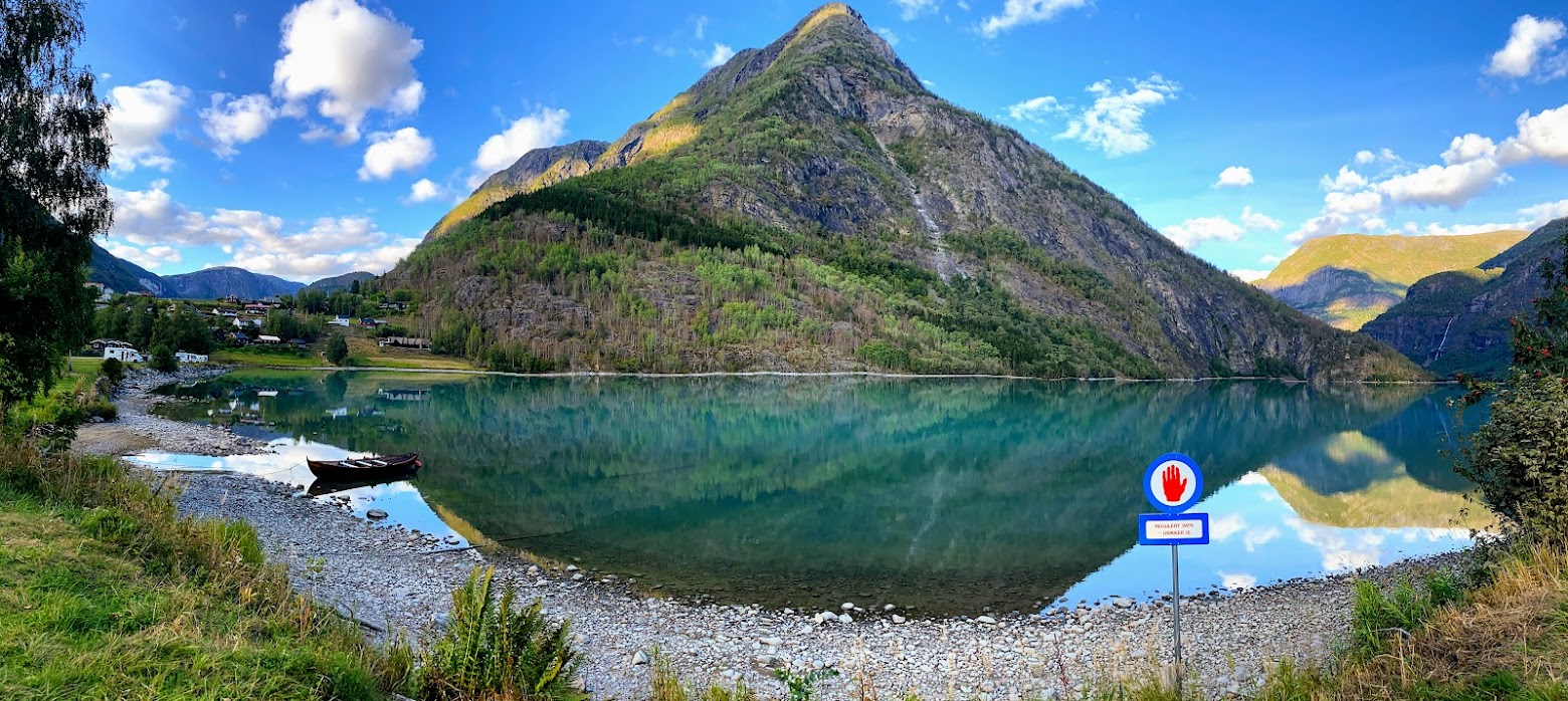
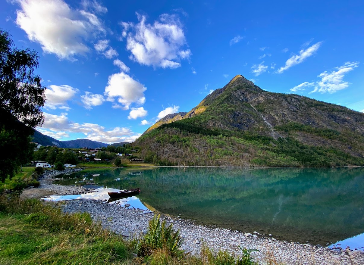
By the end of the scenic route, an amazing deep blue green lake welcomed us – the Eidsvatnet! One could get lost in its peaceful beauty.
It’s probably hard to see, but on the edges of the mountain straight ahead are the letters S-O-G-N-D-A-L, giving some Hollywood vibes?

Crossing the bridge also gave us the first glimpse of the Sognefjord, but more about it in the next entry. Before calling it a day and camping at the Amlasanden Fjordcamping grounds, we visited the Kaupanger stave church. Sadly, it was not as celebrated as the other remaining stave churches, meaning, we didn’t get to see the interior. It stands north of the Sognefjord, dating from ca 1140, and can seat about 150 people.

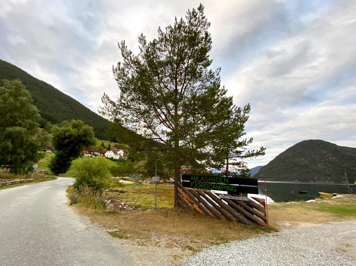
Amlasanden was an spontaneous choice of camping ground. It basically has nothing, but the ground, the view, the common toilets and a reception building which was closed. So we did everything online and by vipps – very easy and convenient. Then, we put up the tent and tried to have a good night sleep!
After putting up the tent, it went dark very fast, so no pretty pictures of the fjord before the next day, which will be written about in the next entry. 🙂 #spreadloveandpositivevibes!
ALL PHOTOS AND VIDEOS ON THIS ENTRY ARE MINE.

Leave a comment